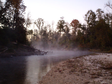
Adventure in the Deep South
The Black Creek Trail,
Page 3
Upon re-entering the woods, the hike becomes an easy .75 mile jaunt ending at Highway 49. It will take some visual searching to find the trail on the opposite side of the Hwy. Scan the road side before attempting to cross, as Hwy 49 is quite busy and semi trucks travel at high speeds along it. Once you cross the road you will take the trail for around .5 miles and then come upon the parking area at old CCC camp.
This concludes the first portion of the trail. More info on the remainder of the trail will come in soon.
All text and photos on this site, unless specified otherwise, are
© 2010, SouthernBackpacking.com
You may contact DeSoto National Forest at 601-528-6160. You may request maps of the trail and of the other trails in the DeSoto National Forest (the Tuxachanie Trail and the Long Leaf Trail are both over 20 miles in length and good for backpacking). You may also write for a forest service map that shows the trail very clearly with most streams and all roads shown. The map is $9.00 and a check may be sent to:
P.O. Box 248
654 West Frontage Road
Wiggins, MS 39577
You may search the National Forest website by following the the link: